Scenic routes · Yurikamome
Yurikamome: which side for Tokyo Bay?
Check this journey from your stations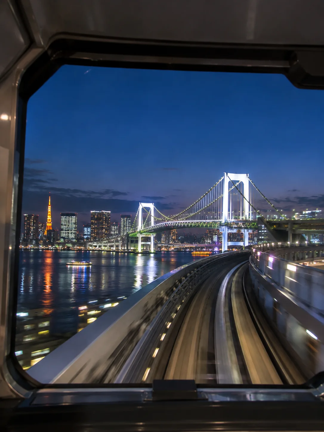 Illustrative image
Shimbashi → Toyosu
- leftTokyo Bay and the Rainbow BridgeTakeshiba → Shibaura-futo
- rightThe Odaiba waterfrontOdaiba-kaihinkoen → Aomi
- leftThe Harumi waterfront and the cityShijo-mae → Toyosu
Toyosu → Shimbashi
- rightThe Harumi waterfront and the cityToyosu → Shijo-mae
- leftThe Odaiba waterfrontAomi → Odaiba-kaihinkoen
- rightTokyo Bay and the Rainbow BridgeShibaura-futo → Takeshiba
Yurikamome
Your window, minute by minute
Shimbashi → Toyosu
Minutes from the Yurikamome 22:32 from Shimbashi timetable; between stops, spread by distance.
Each view, and how big it looks
| View | Where | Side (Shimbashi → Toyosu) | Size | Best |
|---|---|---|---|---|
| Tokyo Bay and the Rainbow Bridge | Takeshiba – Shibaura-futo2.1 km of line | left | — | All year; the bridge is lit after darkterrain model only: open water at least 400 m across, within 300 m of the line |
| The Odaiba waterfront | Odaiba-kaihinkoen – Aomi4.5 km of line | right | — | All year; sunset over the harbour in the late afternoonterrain model only: open water at least 400 m across, within 300 m of the line |
| The Harumi waterfront and the city | Shijo-mae – Toyosu1.3 km of line | left | — | All year; city lights after darkterrain model only: open water at least 400 m across, within 300 m of the line |
- After Shibaura-futo the line climbs a full circle onto the Rainbow Bridge, then crosses it on the lower deck: water on both sides, the city behind you going to Odaiba. On the loop the view swings round, so it is not given a side.
- The line has no driver. The seats at the very front (and back) of the train look straight down the track — the best view of the loop and the bridge, if you can get them.
- Buildings are not in the model, and in Tokyo they hide much of the water. We only count open water at least 400 m across that comes within 300 m of the line, so canals do not count — but a warehouse or a hotel can still stand in the way.
- Cars mostly have long bench seats along the sides.
- Trains pass every one of these stretches whether or not they stop; the views are between stations, not at them.
- Seat letters: we give sides, not letters, unless they have been verified.
Which ticket?
Tickets for the Yurikamome
Hopping between Odaiba stops? A one-day pass covers every ride.
- Several rides in a day around OdaibaYurikamome One-day Pass
- Just there and backSingle tickets or an IC card
We may earn a commission if you book through this link, at no extra cost to you.
Official details: Yurikamome
Stay near the route
Find a convenient base
Ariake, Odaiba and Toyosu are on the waterfront section of this route.
PR: We may earn a commission if you book through these links, at no extra cost to you.
Questions
Which side of the Yurikamome is Tokyo Bay and the Rainbow Bridge on?
Going from Shimbashi to Toyosu, Tokyo Bay and the Rainbow Bridge is on the left side, between Takeshiba and Shibaura-futo. Going from Toyosu to Shimbashi, it is on the right. This comes from our terrain model; we found no published source for the side.
Which side of the Yurikamome is the Odaiba waterfront on?
Going from Shimbashi to Toyosu, the Odaiba waterfront is on the right side, between Odaiba-kaihinkoen and Aomi. Going from Toyosu to Shimbashi, it is on the left. This comes from our terrain model; we found no published source for the side.
Which side of the Yurikamome is the Harumi waterfront and the city on?
Going from Shimbashi to Toyosu, the Harumi waterfront and the city is on the left side, between Shijo-mae and Toyosu. Going from Toyosu to Shimbashi, it is on the right. This comes from our terrain model; we found no published source for the side.
Which seat letter should I book on the Yurikamome?
Look out on the side shown for your direction of travel. Seat numbers and reservation rules depend on the train.
Is the Yurikamome one-day pass worth it?
If you will get on and off three times or more — Shimbashi, Odaiba, Toyosu — yes, and you skip the ticket machine each time.
How we worked this out
Side and sections from a terrain model (GSI elevation, where water has no height; OSM track followed rail by rail through the loop): the bay counts as in view where open water at least 400 m across comes within 300 m of the line on one side. No published source was found for the sides, so they rest on the model alone. No seat letters.
Timing: Yurikamome station timetables (yurikamome.co.jp), weekdays, read November 2026: the 22:32 from Shimbashi and the 22:44 from Toyosu, followed station by station. Run times checked against the next train each way (22:40 and 22:53), which match minute for minute; trains run every 3–8 minutes through the day. Toyosu and Shimbashi arrivals taken as the published run the other way (1 minute). Between stops, spread by distance along the track.
Elevation: Geospatial Information Authority of Japan (国土地理院). Track: © OpenStreetMap contributors (ODbL).