Scenic routes · Tohoku Shinkansen
Tohoku Shinkansen: which side for Mt. Iwate and the Tohoku mountains?
Check this journey from your stations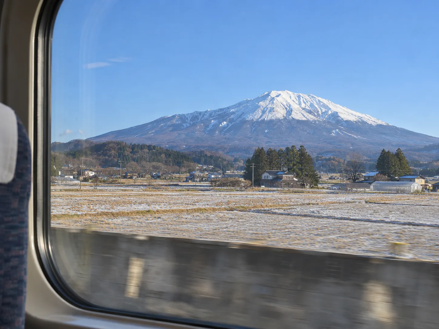 Illustrative image
Tokyo → Shin-Aomori
- leftMt. NasuUtsunomiya → Shin-Shirakawa
- leftMt. Adatara and Mt. AzumaShin-Shirakawa → Shiroishi-Zao
- leftMt. ZaoShiroishi-Zao → Sendai
- leftMt. KurikomaFurukawa → Mizusawa-Esashi
- rightMt. HayachineMizusawa-Esashi → Iwate-Numakunai
- leftMt. IwateKitakami → Iwate-Numakunai
- leftThe Hakkoda MountainsHachinohe → Shin-Aomori
Shin-Aomori → Tokyo
- rightThe Hakkoda MountainsShin-Aomori → Hachinohe
- rightMt. IwateIwate-Numakunai → Kitakami
- leftMt. HayachineIwate-Numakunai → Mizusawa-Esashi
- rightMt. KurikomaMizusawa-Esashi → Furukawa
- rightMt. ZaoSendai → Shiroishi-Zao
- rightMt. Adatara and Mt. AzumaShiroishi-Zao → Shin-Shirakawa
- rightMt. NasuShin-Shirakawa → Utsunomiya
Tohoku Shinkansen
Your window, minute by minute
Tokyo → Shin-Aomori
Minutes from the Hayabusa 3 timetable; between stops, spread by distance.
Each view, and how big it looks
| View | Where | Side (Tokyo → Shin-Aomori) | Size | Best |
|---|---|---|---|---|
| Mt. Nasu | Utsunomiya – Shin-Shirakawa52 km of line · summit about 16 km away at its closest | left | Clear: three fingers high | Clear days; snow-capped from about November to Mayterrain model |
| Mt. Adatara and Mt. Azuma | Shin-Shirakawa – Shiroishi-Zao73 km of line · summit about 16 km away at its closest | left | Clear: three fingers high | Clear days; snow-capped from about November to Mayterrain model; side matched to published accounts |
| Mt. Zao | Shiroishi-Zao – Sendai29 km of line · summit about 26 km away at its closest | left | Clear: three fingers high | Clear days; snow-capped from about November to Mayterrain model |
| Mt. Kurikoma | Furukawa – Mizusawa-Esashi55 km of line · summit about 30 km away at its closest | left | Small: a thumb high | Clear days; snow-capped from about November to Mayterrain model |
| Mt. Hayachine | Mizusawa-Esashi – Iwate-Numakunai72 km of line · summit about 27 km away at its closest | right | Small: a thumb high | Clear days; snow-capped from about November to Mayterrain model |
| Mt. Iwate | Kitakami – Iwate-Numakunai63 km of line · summit about 15 km away at its closest | left | Clear: three fingers high | Clear days; snow-capped from about November to Mayterrain model; side matched to published accounts |
| The Hakkoda Mountains | Hachinohe – Shin-Aomori66 km of line · summit about 14 km away at its closest | left | Clear: three fingers high | Clear days; snow-capped from about November to Mayterrain model |
- Trains pass every one of these stretches whether or not they stop; the views are between stations, not at them.
- Seat letters: we give sides, not letters, unless they have been verified.
Which ticket?
Tickets for the Tohoku Shinkansen
Hayabusa trains are all reserved — book your seat before you go. Riding the Shinkansen more than once? The JR Pass covers the Tohoku Shinkansen, Hayabusa included.
- Tokyo ↔ Sendai, Morioka or Shin-AomoriReserved Tohoku Shinkansen ticket
- A wider JR tripJR Pass — it covers the Hayabusa with no extra ticket
We may earn a commission if you book through this link, at no extra cost to you.
JR Pass or single tickets: the full comparisonOfficial details: Japan Rail Pass
Ride the Tohoku Shinkansen on a JR Pass
The Japan Rail Pass covers this line. Worth comparing if you are also riding the Shinkansen elsewhere.
We may earn a commission if you book through this link, at no extra cost to you.
Questions
Which side of the Tohoku Shinkansen is Mt. Nasu on?
Going from Tokyo to Shin-Aomori, Mt. Nasu is on the left side, between Utsunomiya and Shin-Shirakawa. Going from Shin-Aomori to Tokyo, it is on the right.
Which side of the Tohoku Shinkansen is Mt. Adatara and Mt. Azuma on?
Going from Tokyo to Shin-Aomori, Mt. Adatara and Mt. Azuma is on the left side, between Shin-Shirakawa and Shiroishi-Zao. Going from Shin-Aomori to Tokyo, it is on the right.
Which side of the Tohoku Shinkansen is Mt. Zao on?
Going from Tokyo to Shin-Aomori, Mt. Zao is on the left side, between Shiroishi-Zao and Sendai. Going from Shin-Aomori to Tokyo, it is on the right.
Which side of the Tohoku Shinkansen is Mt. Kurikoma on?
Going from Tokyo to Shin-Aomori, Mt. Kurikoma is on the left side, between Furukawa and Mizusawa-Esashi. Going from Shin-Aomori to Tokyo, it is on the right.
Which side of the Tohoku Shinkansen is Mt. Hayachine on?
Going from Tokyo to Shin-Aomori, Mt. Hayachine is on the right side, between Mizusawa-Esashi and Iwate-Numakunai. Going from Shin-Aomori to Tokyo, it is on the left.
Which side of the Tohoku Shinkansen is Mt. Iwate on?
Going from Tokyo to Shin-Aomori, Mt. Iwate is on the left side, between Kitakami and Iwate-Numakunai. Going from Shin-Aomori to Tokyo, it is on the right.
Which side of the Tohoku Shinkansen is the Hakkoda Mountains on?
Going from Tokyo to Shin-Aomori, the Hakkoda Mountains is on the left side, between Hachinohe and Shin-Aomori. Going from Shin-Aomori to Tokyo, it is on the right.
Which seat letter should I book on the Tohoku Shinkansen?
Look out on the side shown for your direction of travel. Seat numbers and reservation rules depend on the train.
Does the JR Pass cover the Hayabusa?
Yes. The JR Pass leaves out only the Nozomi and Mizuho on the Tokaido, Sanyo and Kyushu Shinkansen; the Hayabusa on the Tohoku Shinkansen is not on that list. Hayabusa trains are all reserved, so book a seat before you board.
Which side is better from Tokyo to Sendai?
The left, going north: Mt. Nasu after Utsunomiya, Mt. Adatara and Mt. Azuma around Koriyama and Fukushima, then Mt. Zao before Sendai. Coming back to Tokyo, sit on the right.
How we worked this out
Sides from a terrain sight-line model (GSI elevation, OSM track). Matched against published accounts: Mt. Iwate on the left going north (visitjapan-vegetarian.com), and Mt. Adatara and Mt. Azuma photographed from the east out of a Tohoku Shinkansen window (Geological Survey of Japan). The other sections are model only. Seat letters not verified, so not given.
Timing: JR East train timetables (timetables.jreast.co.jp), November 2026 timetable: Hayabusa 3 and 20, Yamabiko 53 and 50. Times between stops are spread in proportion to distance along the line.
Elevation: Geospatial Information Authority of Japan (国土地理院). Track: © OpenStreetMap contributors (ODbL).